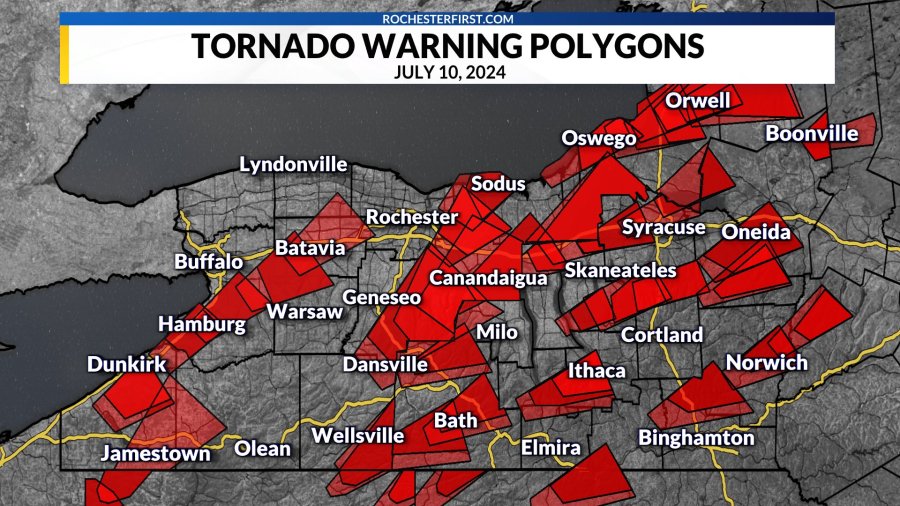
The National Weather Service (NWS) has issued a tornado warning for parts of Westchester County, New York, as a dangerous line of severe thunderstorms moves across the region. Meteorologists have identified rotation within the storm, prompting officials to warn residents that a tornado is either radar-indicated or could develop quickly, posing an immediate threat to life and property.
Emergency alerts have been sent to mobile devices throughout the affected area, urging residents to seek shelter immediately. A tornado warning represents the highest level of tornado alert issued by the National Weather Service and indicates that protective action should be taken without delay.
According to the NWS, the warning was issued after weather radar detected strong rotation within a fast-moving thunderstorm. The storm is producing heavy rainfall, damaging straight-line winds, frequent lightning, and the potential for large hail in addition to the risk of a tornado. Forecasters continue to monitor the storm’s movement as it tracks east-northeast across Westchester County.
Local emergency management agencies and first responders remain on standby to respond to reports of storm damage, fallen trees, flooding, and power outages. Utility companies are also monitoring conditions and preparing crews for possible restoration efforts should severe weather damage electrical infrastructure.
Residents in the warning area are urged to move immediately to a basement or an interior room on the lowest floor of a sturdy building. Those living in mobile homes, vehicles, or temporary structures should relocate to a safer location as quickly as possible. Windows, exterior walls, and large open rooms should be avoided during the warning.
Even if a tornado does not touch down, severe thunderstorms accompanying the warning can produce destructive wind gusts capable of damaging roofs, uprooting trees, and bringing down power lines. Heavy rain may also lead to localized flash flooding, reducing visibility and creating hazardous travel conditions.
Motorists are strongly encouraged to avoid unnecessary travel while the warning remains in effect. Drivers caught on the road should never attempt to outrun a tornado and should seek sturdy shelter if conditions become dangerous. Downed power lines, flooded roadways, and flying debris present additional hazards during severe weather events.
Residents should continue monitoring updates from the National Weather Service, local emergency management agencies, and trusted media outlets for the latest information regarding the storm’s track and any additional warnings or advisories. Battery-powered weather radios and mobile emergency alerts should remain active in case conditions change rapidly.
Officials will continue to assess the storm as it moves across the region. Additional warnings may be issued, extended, or canceled based on changing weather conditions. Until the threat has passed, public safety officials urge everyone in the affected areas to remain indoors, stay alert, and follow all emergency guidance.